-
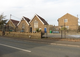
Primary school, Chilthorne Domer
-
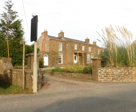
The Old Parsonage, Chilthorne Domer
Primary school, Chilthorne Domer
The Old Parsonage, Chilthorne Domer
Location and coordinates are for the approximate centre of Chilthorne Domer within this administrative area. Geographic features and populated places may cross administrative borders.