-
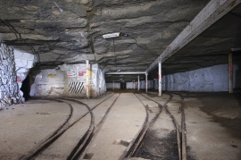
Former RAF Chilmark underground munition depot
-
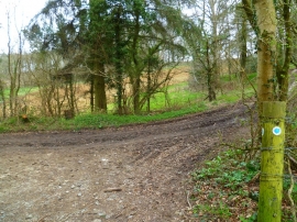
The Orange Way in Wiltshire (86)
Former RAF Chilmark underground munition depot
The Orange Way in Wiltshire (86)
Location and coordinates are for the approximate centre of Chicksgrove Wood within this administrative area. Geographic features and populated places may cross administrative borders.