-
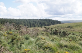
Impact of pony grazing
-
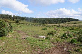
Bellever Forest
Impact of pony grazing
Bellever Forest
Location and coordinates are for the approximate centre of Cherry Brook within this administrative area. Geographic features and populated places may cross administrative borders.