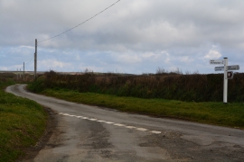
Cheristow, Devon

« Gazetteer Entry
Upload Photo

Cheristow, Devon

  • Parish/Community: Hartland
  • District/Borough: Torridge
  • County: Devon
  • Region: South West
  • Category: Populated Place
  • Type: Other Settlement
  • Latitude/Longitude: 51°0'8"N 4°29'18"W
  • Eastings/Northings: 225500, 125500
  • OS Grid: SS255255
  • Mapcode Local: GBR K4.K4SY
  • Mapcode Global: FRA 16HG.F7B

Location and coordinates are for the approximate centre of Cheristow within this administrative area. Geographic features and populated places may cross administrative borders.

BritishPlaceNames.uk is a Good Stuff website.