-

Aggregates Terminal, Medway City Estate (at night)
-
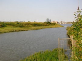
Whitewall Creek
Aggregates Terminal, Medway City Estate (at night)
Whitewall Creek
Location and coordinates are for the approximate centre of Chatham Reach within this administrative area. Geographic features and populated places may cross administrative borders.