-
View from churchyard
-

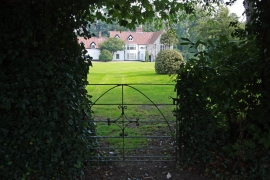
Property behind Heydon churchyard
View from churchyard
Property behind Heydon churchyard
Location and coordinates are for the approximate centre of Chasteney's Belt within this administrative area. Geographic features and populated places may cross administrative borders.