-
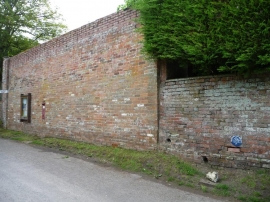
Large wall with four interesting things, Charlton St Peter
-
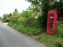
Re-purposed red phone box, Charlton St Peter
Large wall with four interesting things, Charlton St Peter
Re-purposed red phone box, Charlton St Peter
Location and coordinates are for the approximate centre of Charlton St Peter within this administrative area. Geographic features and populated places may cross administrative borders.