-

The Vinery, Poling
-
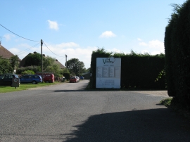
The Vinery Industrial Units
The Vinery, Poling
The Vinery Industrial Units
Location and coordinates are for the approximate centre of Charloe Copse within this administrative area. Geographic features and populated places may cross administrative borders.