-
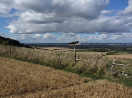
Path crossroads east of Pilot Hill near East Woodhay
-
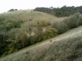
Lower slopes of Pilot Hill
Path crossroads east of Pilot Hill near East Woodhay
Lower slopes of Pilot Hill
Location and coordinates are for the approximate centre of Charldown Top Copse within this administrative area. Geographic features and populated places may cross administrative borders.