-
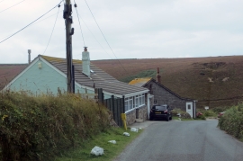
Approaching Goonvrea
-
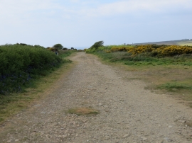
Mining Track to Wheal Charlotte
Approaching Goonvrea
Mining Track to Wheal Charlotte
Location and coordinates are for the approximate centre of Chapel Coombe within this administrative area. Geographic features and populated places may cross administrative borders.