-
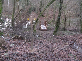
New footbridge and waymarker in access woodland
-
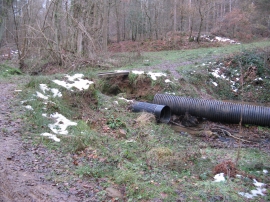
Culvert under repair at Bowyer's Wood
New footbridge and waymarker in access woodland
Culvert under repair at Bowyer's Wood
Location and coordinates are for the approximate centre of Changehill Wood within this administrative area. Geographic features and populated places may cross administrative borders.