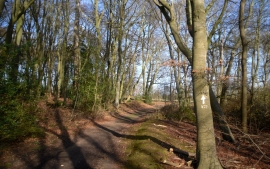
Chalkpit Shaw, Oxfordshire

« Gazetteer Entry
Upload Photo

Chalkpit Shaw, Oxfordshire

  • Parish/Community: Kidmore End
  • District/Borough: South Oxfordshire
  • County: Oxfordshire
  • Region: South East
  • Category: Landcover
  • Type: Forest or Wood
  • Latitude/Longitude: 51°30'21"N 1°1'31"W
  • Eastings/Northings: 467737, 179024
  • OS Grid: SU677790
  • Mapcode Local: GBR B3N.KK6
  • Mapcode Global: VHDWL.5DRS

Location and coordinates are for the approximate centre of Chalkpit Shaw within this administrative area. Geographic features and populated places may cross administrative borders.

BritishPlaceNames.uk is a Good Stuff website.