-
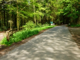
Road to oilfield on Weston Common
-
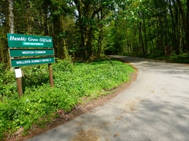
Sign at entrance to Weston Common
Road to oilfield on Weston Common
Sign at entrance to Weston Common
Location and coordinates are for the approximate centre of Chalkdell Copse within this administrative area. Geographic features and populated places may cross administrative borders.