-

To Metherall Brook and beyond - Dartmoor
-
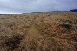
Two Moors Way, Chagford Common
To Metherall Brook and beyond - Dartmoor
Two Moors Way, Chagford Common
Location and coordinates are for the approximate centre of Chagford Common within this administrative area. Geographic features and populated places may cross administrative borders.