-
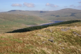
View from Carn Owen
-
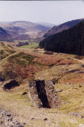
Wheelpit Hafan Mine
View from Carn Owen
Wheelpit Hafan Mine
Location and coordinates are for the approximate centre of Cerrig yr Hafan within this administrative area. Geographic features and populated places may cross administrative borders.