-
Original stones of Brading Haven sea wall
-

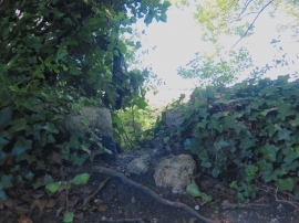
Old sea wall, Centurion's Copse, Isle of Wight
Original stones of Brading Haven sea wall
Old sea wall, Centurion's Copse, Isle of Wight
Location and coordinates are for the approximate centre of Centurion's Copse within this administrative area. Geographic features and populated places may cross administrative borders.