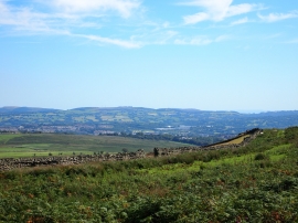
Cefn Gelligaer, Merthyr Tydfil

« Gazetteer Entry
Upload Photo

Cefn Gelligaer, Merthyr Tydfil

  • Parish/Community: Bedlinog
  • Unitary Authority: Merthyr Tydfil
  • Region: Wales
  • Category: Geographic Feature
  • Type: Hill or Mountain
  • Latitude/Longitude: 51°42'18"N 3°16'55"W
  • Eastings/Northings: 311500, 201500
  • OS Grid: SO115015
  • Mapcode Local: GBR HS.3R5G
  • Mapcode Global: VH6D6.2D7M

Location and coordinates are for the approximate centre of Cefn Gelligaer within this administrative area. Geographic features and populated places may cross administrative borders.

BritishPlaceNames.uk is a Good Stuff website.