-
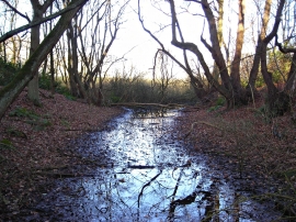
Cave Pond
-
Cave Pond, Fountain Dale, Ravenhead, Notts.
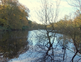
Cave Pond
Cave Pond, Fountain Dale, Ravenhead, Notts.
Location and coordinates are for the approximate centre of Cave Pond within this administrative area. Geographic features and populated places may cross administrative borders.