-

Farm on Ellastone Road
-
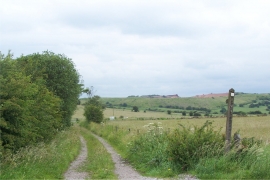
Footpath To Ribden
Farm on Ellastone Road
Footpath To Ribden
Location and coordinates are for the approximate centre of Cauldon Lowe within this administrative area. Geographic features and populated places may cross administrative borders.