-
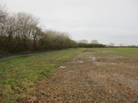
Alongside Catfoss Whin Covert
-
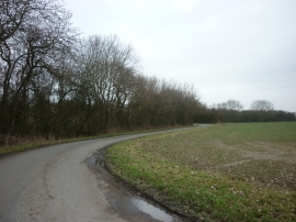
Harsell Lane north of Seaton
Alongside Catfoss Whin Covert
Harsell Lane north of Seaton
Location and coordinates are for the approximate centre of Catfoss Whin Covert within this administrative area. Geographic features and populated places may cross administrative borders.