-
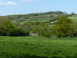
Ruined stone building near Cat Hill Wood
-
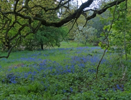
Bluebells in Cat Hill Wood
Ruined stone building near Cat Hill Wood
Bluebells in Cat Hill Wood
Location and coordinates are for the approximate centre of Cat Hill Wood within this administrative area. Geographic features and populated places may cross administrative borders.