-
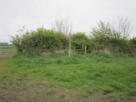
A path leading to Wetherhill Wood
-
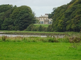
Castletown House
A path leading to Wetherhill Wood
Castletown House
Location and coordinates are for the approximate centre of Castletown Wood within this administrative area. Geographic features and populated places may cross administrative borders.