-
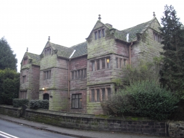
The Seneschal's House, Halton
-
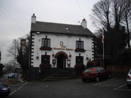
The Norton Arms, Halton
The Seneschal's House, Halton
The Norton Arms, Halton
Location and coordinates are for the approximate centre of Castlefields within this administrative area. Geographic features and populated places may cross administrative borders.