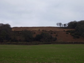
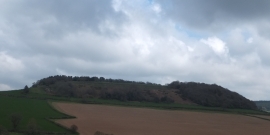
Castle Plantation, Devon

« Gazetteer Entry
Upload Photo

Castle Plantation, Devon

  • Parish/Community: Sidmouth
  • District/Borough: East Devon
  • County: Devon
  • Region: South West
  • Category: Landcover
  • Type: Forest or Wood
  • Latitude/Longitude: 50°42'50"N 3°13'57"W
  • Eastings/Northings: 313072, 91202
  • OS Grid: SY130912
  • Mapcode Local: GBR P8.VGNS
  • Mapcode Global: FRA 4736.4G1

Location and coordinates are for the approximate centre of Castle Plantation within this administrative area. Geographic features and populated places may cross administrative borders.

BritishPlaceNames.uk is a Good Stuff website.