-

Castle-an-Dinas hillfort
-
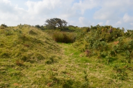
Tumulus at Castle-an-Dinas
Castle-an-Dinas hillfort
Tumulus at Castle-an-Dinas
Location and coordinates are for the approximate centre of Castle Downs within this administrative area. Geographic features and populated places may cross administrative borders.