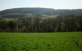
Castick Plantation, Cornwall

« Gazetteer Entry
Upload Photo

Castick Plantation, Cornwall

  • Parish/Community: North Hill
  • Unitary Authority: Cornwall
  • Region: South West
  • Category: Landcover
  • Type: Forest or Wood
  • Latitude/Longitude: 50°33'51"N 4°27'26"W
  • Eastings/Northings: 226066, 76710
  • OS Grid: SX260767
  • Mapcode Local: GBR NG.FT1H
  • Mapcode Global: FRA 17KK.TKG

Location and coordinates are for the approximate centre of Castick Plantation within this administrative area. Geographic features and populated places may cross administrative borders.

BritishPlaceNames.uk is a Good Stuff website.