-
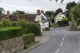
Painscastle, Powys
-
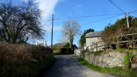
Road to Cregrina and Hundred House
Painscastle, Powys
Road to Cregrina and Hundred House
Other current and historical names
Location and coordinates are for the approximate centre of Castell-paen within this administrative area. Geographic features and populated places may cross administrative borders.