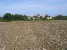
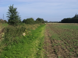
Carswell Marsh, Oxfordshire

« Gazetteer Entry
Upload Photo

Carswell Marsh, Oxfordshire

  • Parish/Community: Buckland
  • District/Borough: Vale of White Horse
  • County: Oxfordshire
  • Region: South East
  • Category: Populated Place
  • Type: Hamlet
  • Latitude/Longitude: 51°41'16"N 1°31'58"W
  • Eastings/Northings: 432383, 198883
  • OS Grid: SU323988
  • Mapcode Local: GBR 6WW.38F
  • Mapcode Global: VHC0F.CVY0

Location and coordinates are for the approximate centre of Carswell Marsh within this administrative area. Geographic features and populated places may cross administrative borders.

BritishPlaceNames.uk is a Good Stuff website.