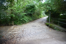
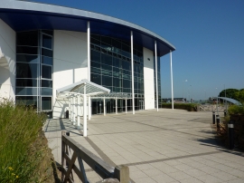
Carrine Common, Cornwall

« Gazetteer Entry
Upload Photo

Carrine Common, Cornwall

  • Parish/Community: Kea
  • Unitary Authority: Cornwall
  • Region: South West
  • Category: Landcover
  • Type: Other Landcover
  • Latitude/Longitude: 50°14'52"N 5°5'35"W
  • Eastings/Northings: 179568, 43252
  • OS Grid: SW795432
  • Mapcode Local: GBR ZC.9H87
  • Mapcode Global: FRA 086C.RK5

Location and coordinates are for the approximate centre of Carrine Common within this administrative area. Geographic features and populated places may cross administrative borders.

BritishPlaceNames.uk is a Good Stuff website.