-
Gwylwyr Carreglefain
-
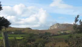
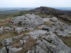
The moorland of Mynydd Nefyn and the Carreglefain crag on Gwylwyr
Gwylwyr Carreglefain
The moorland of Mynydd Nefyn and the Carreglefain crag on Gwylwyr
Location and coordinates are for the approximate centre of Carreglefain within this administrative area. Geographic features and populated places may cross administrative borders.