-
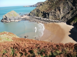
Cove near Llangranog
-
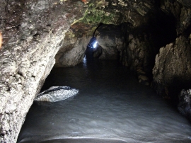
Sea cave in Carreg-y-Ty
Cove near Llangranog
Sea cave in Carreg-y-Ty
Location and coordinates are for the approximate centre of Carreg y Nodwydd within this administrative area. Geographic features and populated places may cross administrative borders.