-
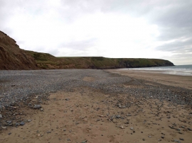
Aberdaron beach
-
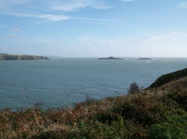
Ynysoedd y Gwylanod from the cliff top above Porth Meudwy
Aberdaron beach
Ynysoedd y Gwylanod from the cliff top above Porth Meudwy
Location and coordinates are for the approximate centre of Carreg goch within this administrative area. Geographic features and populated places may cross administrative borders.