-
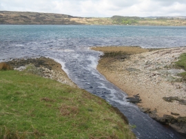
Abhainn an Daimh-sgeir
-
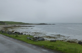
Bay leading up to Carragh an t-Sruith
Abhainn an Daimh-sgeir
Bay leading up to Carragh an t-Sruith
Location and coordinates are for the approximate centre of Carragh an t-Sruith within this administrative area. Geographic features and populated places may cross administrative borders.