-
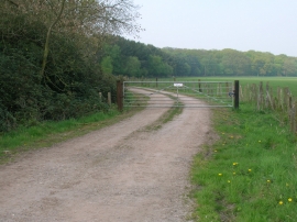
Farm Track off Dauby Lane
-
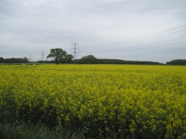
Rape Field and Pylons
Farm Track off Dauby Lane
Rape Field and Pylons
Location and coordinates are for the approximate centre of Carr Wood within this administrative area. Geographic features and populated places may cross administrative borders.