-
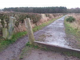
Bridleway through Carr House Plantation to Murton Bridge
-
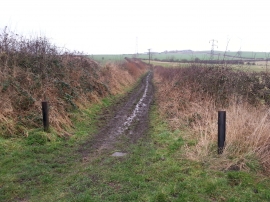
Bridleway to Great Eppleton from Salter's Lane
Bridleway through Carr House Plantation to Murton Bridge
Bridleway to Great Eppleton from Salter's Lane
Location and coordinates are for the approximate centre of Carr House Plantations within this administrative area. Geographic features and populated places may cross administrative borders.