-

Moorland, Carn Kenidjack
-
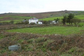
Boslow Farm
Moorland, Carn Kenidjack
Boslow Farm
Location and coordinates are for the approximate centre of Carn Vres Common within this administrative area. Geographic features and populated places may cross administrative borders.