-
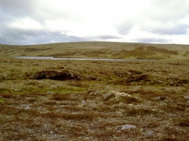
North half of Lochan Gobhlach
-
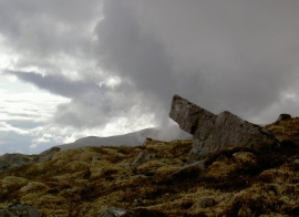
Pointing the way to Ben Wyvis
North half of Lochan Gobhlach
Pointing the way to Ben Wyvis
Location and coordinates are for the approximate centre of Carn nan Con Ruadha within this administrative area. Geographic features and populated places may cross administrative borders.