-
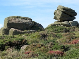
Rocks at Trevilley
-
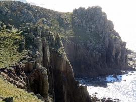
Cliffs near Lions Den
Rocks at Trevilley
Cliffs near Lions Den
Location and coordinates are for the approximate centre of Carn Bean within this administrative area. Geographic features and populated places may cross administrative borders.