-

East Lothian Landscape : Evening Fieldscene Near Carfrae
-
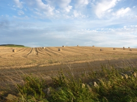
East Lothian Landscape : Random Distribution
East Lothian Landscape : Evening Fieldscene Near Carfrae
East Lothian Landscape : Random Distribution
Location and coordinates are for the approximate centre of Carfrae within this administrative area. Geographic features and populated places may cross administrative borders.