-
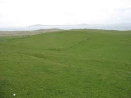
Pabbay - an old field boundary
-
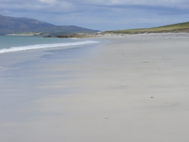
North Beach, Berneray
Pabbay - an old field boundary
North Beach, Berneray
Location and coordinates are for the approximate centre of Caolas Phabaigh within this administrative area. Geographic features and populated places may cross administrative borders.