-
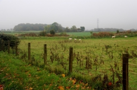
Fields at Overshiel
-
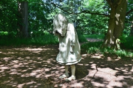
Jupiter Artland - 'Weeping Girls'
Fields at Overshiel
Jupiter Artland - 'Weeping Girls'
Location and coordinates are for the approximate centre of Camps within this administrative area. Geographic features and populated places may cross administrative borders.