-
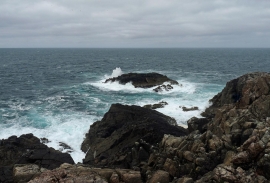
Gallan Beag, Isle of Lewis
-
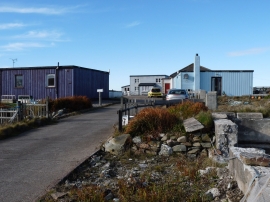
Aird Uig
Gallan Beag, Isle of Lewis
Aird Uig
Location and coordinates are for the approximate centre of Camas Geodhachan an Duilisg within this administrative area. Geographic features and populated places may cross administrative borders.