-
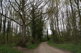
Track through woods, near Fring Wood Farm
-
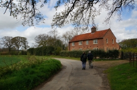
Fring Wood Farm
Track through woods, near Fring Wood Farm
Fring Wood Farm
Location and coordinates are for the approximate centre of Calthorpe Hill Plantation within this administrative area. Geographic features and populated places may cross administrative borders.