-
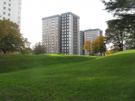
Post-Roman housing at Falkirk
-

Memorial to Sir William Wallace
Post-Roman housing at Falkirk
Memorial to Sir William Wallace
Location and coordinates are for the approximate centre of Callendar Park within this administrative area. Geographic features and populated places may cross administrative borders.