-
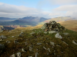
Calfhow Pike summit
-
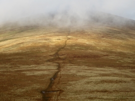
Looking north from Calfhow Pike
Calfhow Pike summit
Looking north from Calfhow Pike
Location and coordinates are for the approximate centre of Calfhow Pike within this administrative area. Geographic features and populated places may cross administrative borders.