-
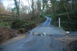
Ford at Calf Hill Crag Wood, East Barnby
-
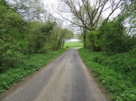
Road near Birk Head
Ford at Calf Hill Crag Wood, East Barnby
Road near Birk Head
Location and coordinates are for the approximate centre of Calf Hill Crag Wood within this administrative area. Geographic features and populated places may cross administrative borders.