-
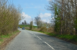
Pluckley Road near the M20
-
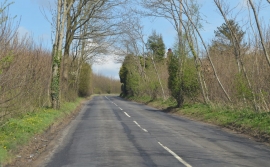
Pluckley Road towards Charing
Pluckley Road near the M20
Pluckley Road towards Charing
Location and coordinates are for the approximate centre of Calehill Heath within this administrative area. Geographic features and populated places may cross administrative borders.