-
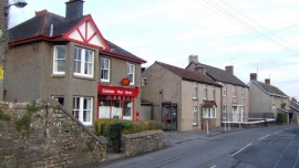
Post Office, Caerwent
-
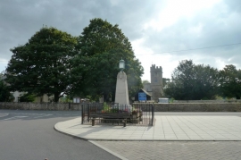
War memorial and church at Caerwent
Post Office, Caerwent
War memorial and church at Caerwent
Other current and historical names
Location and coordinates are for the approximate centre of Caer-went within this administrative area. Geographic features and populated places may cross administrative borders.