-

Public footpath from Hendre Road towards Talywern, Llangennech
-
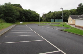
Main car park, Llangennech Community Centre and Library
Public footpath from Hendre Road towards Talywern, Llangennech
Main car park, Llangennech Community Centre and Library
Location and coordinates are for the approximate centre of Cae-gors within this administrative area. Geographic features and populated places may cross administrative borders.