-
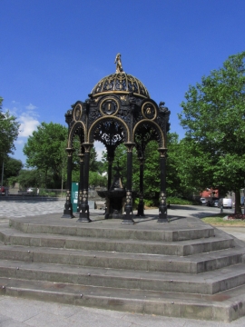
Ironwork fountain by St Tydfil's Old Parish Church, Merthyr Tydfil
-
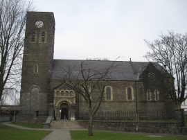
St Tydfil Old Parish Church, Merthyr Tydfil
Ironwork fountain by St Tydfil's Old Parish Church, Merthyr Tydfil
St Tydfil Old Parish Church, Merthyr Tydfil
Other current and historical names
Location and coordinates are for the approximate centre of Cae-draw within this administrative area. Geographic features and populated places may cross administrative borders.